Planning & Architecture Services in Ashford Borough Council
Postcodes: TN23, TN24, TN25
Ashford Borough Council History
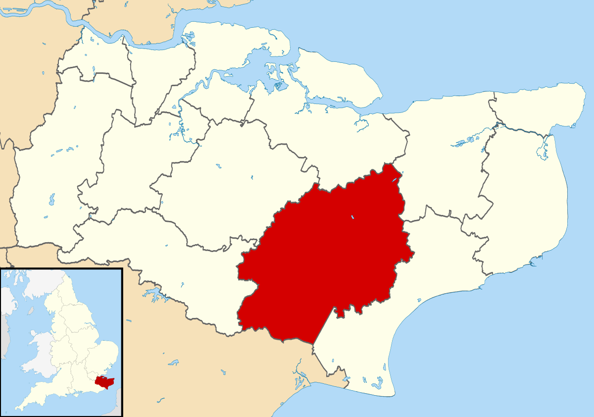
The Borough of Ashford, a local government district in Kent, England, holds borough status and shares its borders with five other Kent districts, as well as East Sussex to the south-west. The primary administrative offices of Ashford Borough Council are situated in the town of Ashford. Established on 1 April 1974, the borough was created through the amalgamation of the former Borough of Tenterden with Ashford urban district and the Rural Districts of East Ashford, West Ashford, and Tenterden. Encompassing 58,000 hectares, it ranks as the largest district in Kent in terms of land area.
The Borough is subdivided into 39 civil parishes, with their focal points extending to both villages and the town of Tenterden. Starting in the 1960s, Ashford has undergone periods of substantial urban expansion, resulting in the development of new suburbs like Stanhope and, more recently, Singleton. The contemporary pattern of urban growth is, in part, influenced by the informal pathways formed by the M20 motorway, the High Speed 1 rail line, and multiple other rail routes that converge at the town’s railway station.
Planning & Architecture Services in Ashford Borough Council - Get a quote today
Share This...
Ashford Borough Council Planning Applications & Appeals